

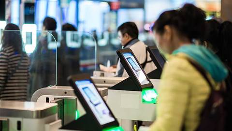
Census collectors will use PDAs loaded with Maptel’s ArcPad program to record the GPS co-ordinates of every dwelling, legal or illegal, during the 2010 census in the US.
The ArcPad purchase is part of a US$600 million, five-year program to develop an automated system for field data collection.
The overall budget for the 2010 US Census is US$11.3 billion. Maptel refused to disclose how much it would earn from the sale.
A Florida-based systems integrator, Harris Corporation, won a contract from the US Census Bureau to develop the Maptel software and train 500,000 field personnel required to carry out the census.
ArcPad is developed locally by Maptel and distributed globally by ESRI, the number one GIS vendor with 40 percent of the world market.
ESRI is a seller of desktop and server based GIS systems and recently held its annual user-group conference in the US, which attracted 14,000 participants.
Customers include the forestry, mining and oil exploration industries, local and state government and emergency services.
ESRI has also captured 95 percent of the professional mobile GIS market through Maptel’s ArcPad program, said Maptel executive director Jeff Bailey.
The 500,000 licences bought by the US Census board dwarfs the current 70,000 users and cements ArcPad’s position as number one in its field.
Maptel was founded in 1989 by Bailey and his seven-person team continues to write all code in Melbourne. The first version was developed under the name MapPad for the Apple Newton in 1994.
ESRI bought a 25 percent stake in Maptel in 1999, rebranded the product under its Arc brand and took it to the international market. Software sales took off immediately, said Bailey.
The association with ESRI was instrumental in boosting recognition and confidence in the technology, according to Bailey.
“Everyone believes it is US software and that’s why they buy it. Who would buy from a little company?” said Bailey.
There are no plans to carry out a similar trial in Australia, although Australian officials are reportedly travelling to the US to monitor the program’s development.

.jpg&h=140&w=231&c=1&s=0)


.png&w=100&c=1&s=0)


 SAP NOW AI Tour ANZ
 Forrester's AI Forum Sydney
 The 2026 iAwards
.jpg&w=120&c=1&s=0) Integrate 2026
Integrate 2026
 Security Exhibition & Conference


_(1).jpg&h=140&w=231&c=1&s=0)


