
Transport for NSW has opened up its real-time GPS data streams to all mobile app developers for the first time, creating the potential for a flood of new commuter apps for the state's travellers.

This week the agency launched its Open Data Hub, a dedicated portal for app developers wanting to utilise a range of NSW transport APIs, such as real-time tracking on trains, buses, ferries and trams, traffic cameras, traffic alerts and dynamic estimates of road travel times.
The full range of APIs on offer can now be viewed online, and the agency told developers it would add more APIs "that we hope you'll find useful in the future”.
Previously, access to the real-time public transport feeds was limited to just six selected app developers, as Transport for NSW's back-end infrastructure was unable to support the kind of traffic an open release would produce.
However, technicians at the agency have been busy building an enterprise service bus into the GPS-based public transport information and priority system (PTIPS) so it can take on new subscribers.
Speaking at the Future Transport Summit this week, Transport Minister Andrew Constance said he expected the impact to be “huge”.
“There is no point having a certain number of prescribed users accessing our data. It’s gotta be available to everybody because we don’t know what these great minds can produce from a customer perspective,” he said.
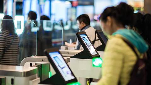
Constance forecasted new opportunities for payments apps once a trial of contactless credit and debit card payments on the network was up and running.
Earlier this month, Prime Minister Malcolm Turnbull nominated one of the existing users of the transport APIs, TripView, as the phone app he found “most useful” during an interview on Western Australian radio.
Transport for NSW also recently handed a grant to research body Data61 to investigate how data could be used to relieve congestion on NSW roads.


.jpg&h=140&w=231&c=1&s=0)

.jpg&h=140&w=231&c=1&s=0)

.png&w=100&c=1&s=0)


 SAP NOW AI Tour ANZ
 Forrester's AI Forum Sydney
 The 2026 iAwards
.jpg&w=120&c=1&s=0) Integrate 2026
Integrate 2026
 Security Exhibition & Conference


_(1).jpg&h=140&w=231&c=1&s=0)


