
The photo was taken shortly after the satellite passed over the eastern seaboard of the US and displays the campus of Kutztown University, a small public college in eastern Pennsylvania.
The image, taken some 423 miles above the earth's surface, displays a clarity which rivals that of an airborne photo. Details such as the logos on the school's football field, tennis courts and individual cars in the parking lot are all visible.
"This image captures what is in fact the very first location the satellite saw when we opened the camera door and started imaging," said GeoEye vice president of operations Brad Peterson.
"We expect the quality of the imagery to be even better as we continue the calibration activity."
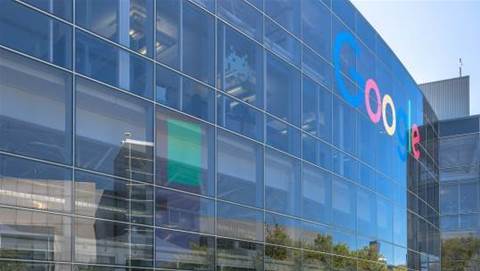
The GeoEye-1 satellite will be used for both government photographing purposes as well as commercial use by Google, which has obtained exclusive rights to the images for its mapping projects.
Google said that it expects to receive the first images for use from GeoEye-1 in a few months.
.jpg&h=140&w=231&c=1&s=0)
.jpg&h=140&w=231&c=1&s=0)
.jpg&h=140&w=231&c=1&s=0)
.jpg&h=140&w=231&c=1&s=0)

.png&w=100&c=1&s=0)


 SAP NOW AI Tour ANZ
 Forrester's AI Forum Sydney
 The 2026 iAwards
.jpg&w=120&c=1&s=0) Integrate 2026
Integrate 2026
 Security Exhibition & Conference


_(1).jpg&h=140&w=231&c=1&s=0)


